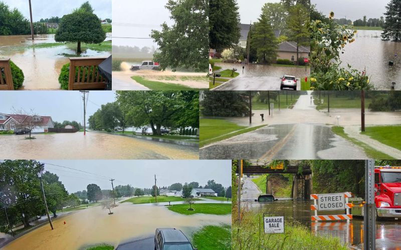
A Flood Watch remains in effect for Logan and Champaign counties and much of the surrounding area through Thursday morning as continued rainfall raises the risk of additional flooding.
The National Weather Service says another round of thunderstorms is expected to develop this afternoon and continue into the overnight hours.
Repeated rounds of storms could produce heavy rainfall in a short period of time, adding to already saturated ground conditions across the region.
Because the area has received significant rainfall in recent days, it will not take much additional rain to cause problems.
Rainfall rates of more than an inch in three hours could lead to localized flooding, especially in areas that have already experienced flooding.
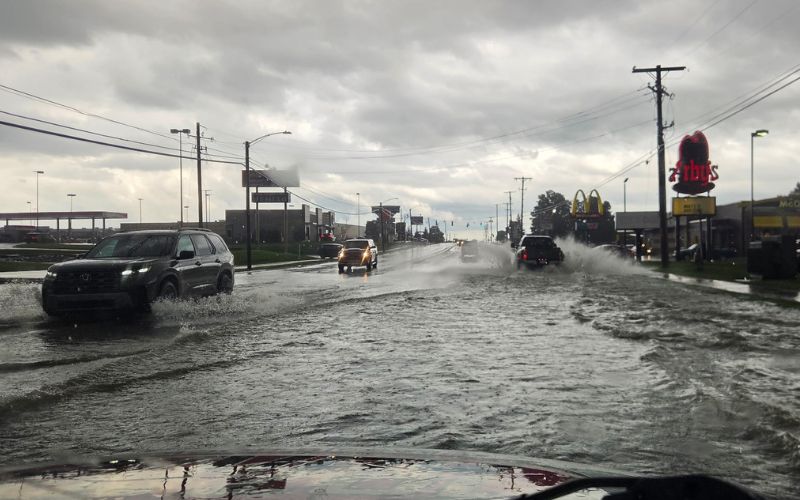
The ongoing rainfall is already causing problems across the northern Miami Valley, with flooded roads, basements, and other areas being impacted. Some residents in Bellefontaine have reported significant basement flooding.
Emergency crews have also responded to multiple incidents involving drivers becoming stuck after attempting to cross flooded roadways.
The Bellefontaine Fire Department is reminding residents to stay out of floodwater.
Floodwater can be fast-moving, unpredictable, and much deeper than it appears.
Driving through flooded roads also puts emergency responders at risk if they are called to rescue stranded motorists.
If you encounter a flooded roadway, turn around and take an alternate route.
Never attempt to drive through standing or moving water.
The combination of saturated ground and additional heavy rainfall could also cause flooding along rivers, creeks, streams, and other low-lying or flood-prone areas.
The National Weather Service says flooding remains the primary concern with the latest round of storms, with limited wind shear expected to reduce the overall threat for severe thunderstorms.
Residents should continue monitoring weather conditions and be prepared to take action if a Flash Flood Warning is issued.
The Flood Watch remains in effect through 10 a.m. Thursday morning.