
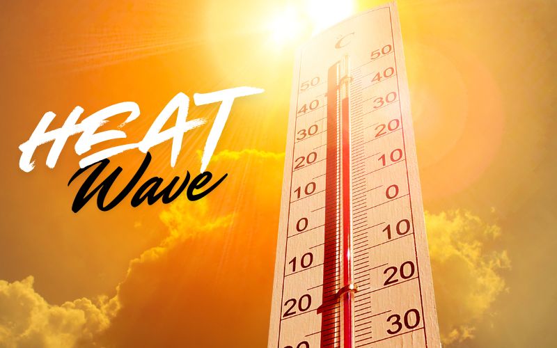
After a short break from the heat, temperatures are expected to climb back into the 90s beginning Tuesday across the area.
High temperatures in the 90s are forecast from Tuesday through Friday, with humidity pushing heat index values close to 100 degrees during the afternoon hours.
The National Weather Service has issued a Hazardous Weather Outlook for much of Ohio, including Logan and Champaign counties, highlighting heat index values near 100 degrees on Wednesday and Thursday.
No other hazardous weather is expected through today, and spotter activation is not anticipated.
While it will be hot, forecasters say this stretch is not expected to be quite as oppressive as the late June and early July heat wave.
Dew point temperatures are expected to remain in the lower 70s, compared to the mid and upper 70s during the previous heat wave that drove heat index values well above 100 degrees.
Rain chances remain low through the workweek as high pressure dominates the region.
By the weekend, that ridge of high pressure is expected to weaken, bringing increasing chances for scattered showers and thunderstorms beginning Saturday and continuing into early next week.
Residents are encouraged to stay hydrated, limit strenuous outdoor activities during the hottest part of the day, wear lightweight clothing, and check on children, older adults, pets, and neighbors who may be more vulnerable during the prolonged heat.